Detailed Forecasts and Local Information
- View a detailed sea level rise and coastal flood risk report for Walton County (which includes Santa Rosa Beach and Highway 30A) from Climate Central
- Check out Walton County’s chances of being impacted by a tropical storm or hurricane
Visualize Sea Level Change in Santa Rosa Beach and Highway 30A
For best results, rotate your screen to landscape mode.
Impacts of Sea Level Change in Santa Rosa Beach and Highway 30A
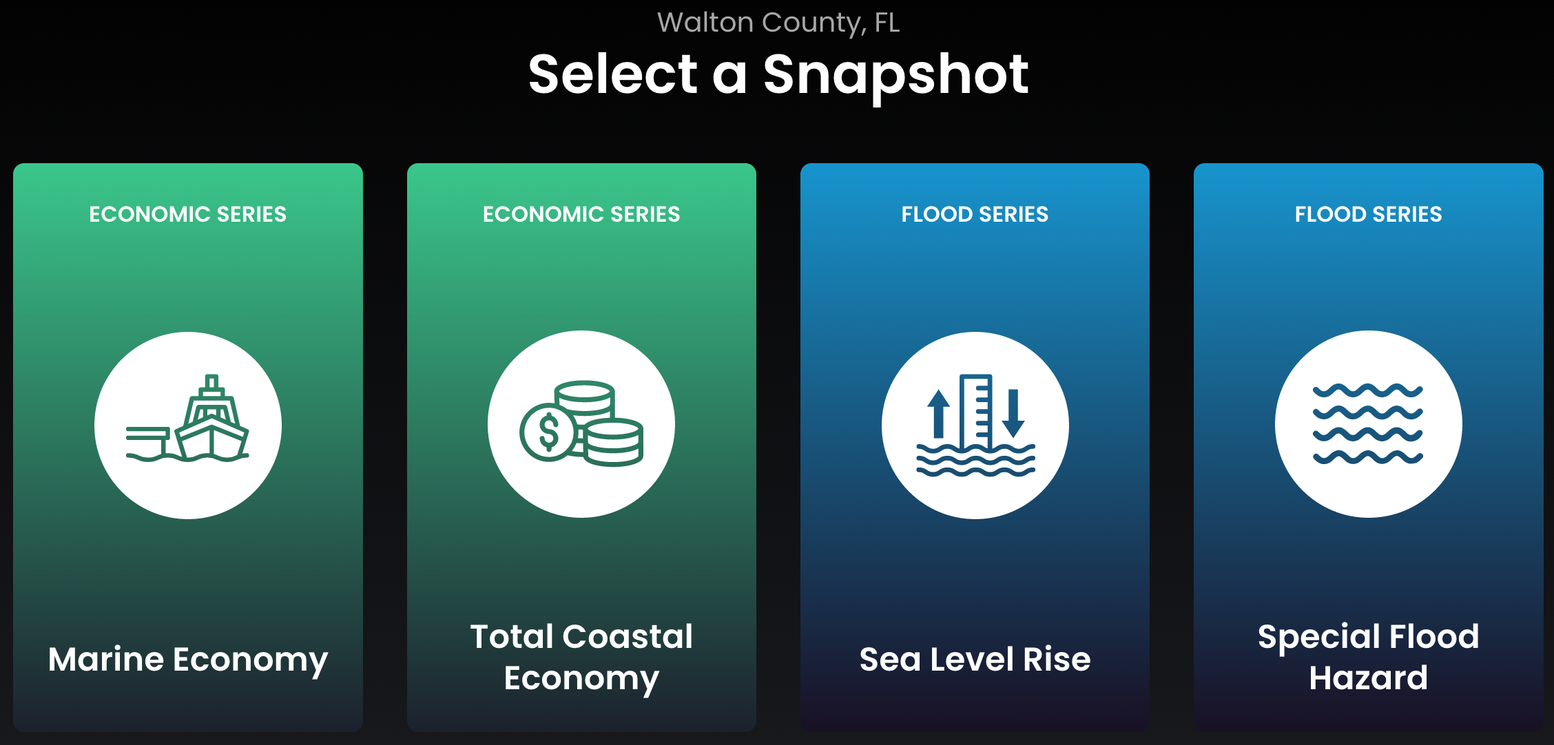
Learn more about anticipated human, financial, and other impacts as a result of sea level changes in Walton County using NOAA’s Coastal County Snapshots tool:
Get More Information
While the map on this page is useful for helping visualize what sea level rise looks like in your area of interest, there are many other great resources available. Any of the items in the list below are a great place to get started. If you have additional resources, please feel free to send them to me so that I can share them here.
- Climate Central Risk Finder
- Florida Climate Center
- In particular, the Florida Climate Center’s newsletters are a great source of current information
- Additionally, the Climate Center releases monthly climate summaries
- Hurricane Risk By County
- Ward Law reached out to provide their hurricane preparedness guide as a practical tool for steps to take when preparing for a hurricane
- The Mesothelioma Center sent me their Asbestos and Natural Disasters Guide containing information about asbestos and the complexities it adds to hurricane prevention and response
- Annuity.org shared The Ultimate Guide to Disaster Preparedness For Your Finances with information about preparing for hurricane impacts and recovering from them